Mold Inspection in Kingsbridge and the Heights
A basement that fills every few storms is describing a documented system, and the report should say so in writing.
Mold Assessment quote in Kingsbridge
Tell us what you can see, where the water came from, and whether the building is yours or somebody else's. That is usually enough for us to say which trade you need, and who is on the hook for paying, before anyone comes out.
Would you rather talk it through? Call (315) 640-3590, answered 24/7.
$100 off your first job
Credited by us on your first booked job.
- One credit per customer per property, on your first booked job.
- Valid through December 31, 2026.
Mention this offer when you book. Full terms.
What a Kingsbridge inspection has to document about a repeat
An inspection in this valley is usually documenting a pattern rather than an incident. Part of Tibbetts Brook was buried in 1912 and routed into the city sewer, and on dry days it still enters that sewer at 4 to 5 million gallons a day, roughly 2.1 billion gallons a year, before any rain has fallen. So a Kingsbridge basement that takes water in heavy storms is not unlucky, and a report that records the entry point, the depth, the frequency and the materials affected is worth far more here than one that records a square footage on a single day.
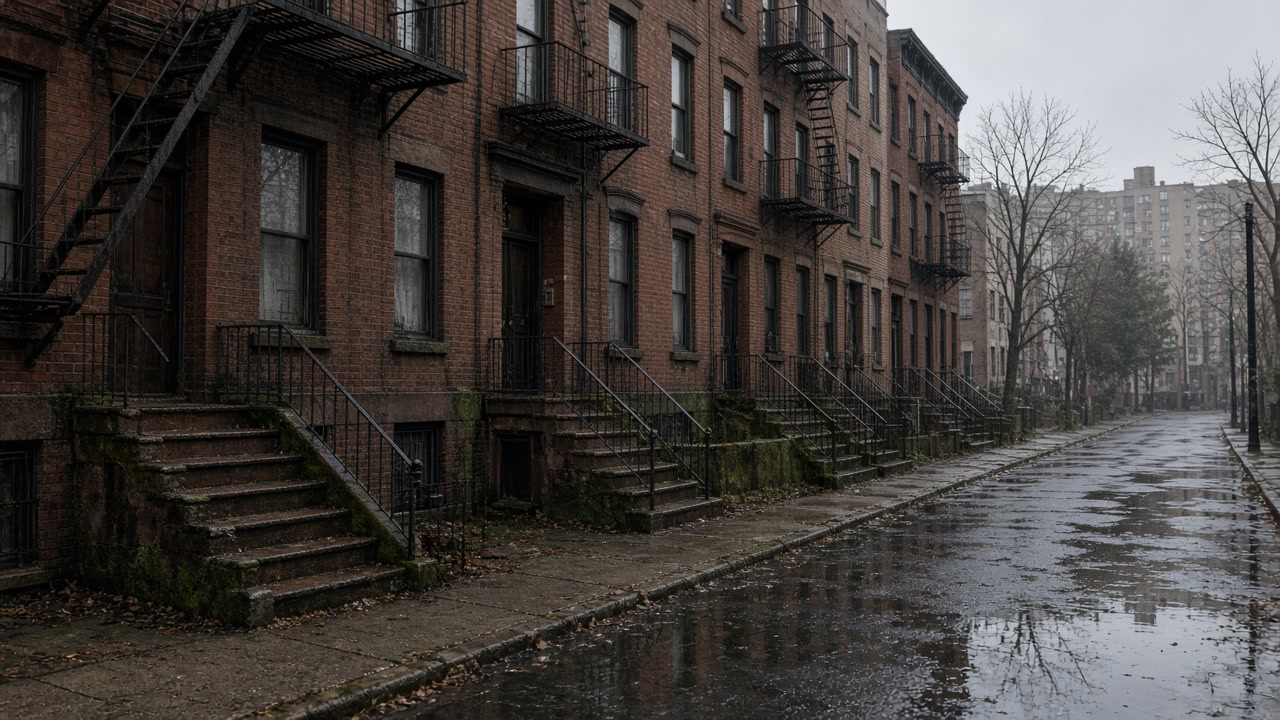
What mold assessment involves in Kingsbridge
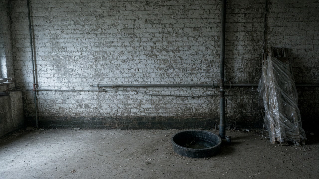
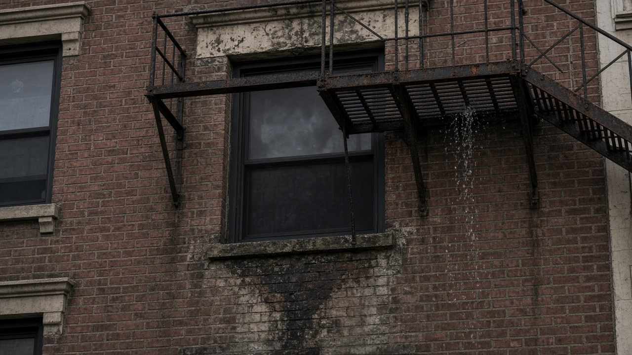
What to ask a Kingsbridge assessor to write down
Ask for the history to be in the document, not just the condition. The entry route, how high the water reached, how often it has happened and what is still holding moisture months later are the facts that support a sump, a backwater valve and a rebuild specification. It also helps to know what the map will and will not do for you: the federal layer returns minimal hazard at Tibbett Avenue and at Broadway, and only 12 flood insurance claims have ever been filed in ZIP code 10463, so this is not a mapped flood problem and no policy is standing behind it. Relief from the daylighting project is years out, with construction anticipated to begin in Fall 2026.
Document the pattern, not only the patch
Frequency, entry point and high water mark are what justify permanent work. A single day's measurement justifies a single cleanup.
The flood map will not help you here
Minimal hazard at Tibbett Avenue and Broadway, and 12 claims in the ZIP code's whole history, so the answer is a valve and a sump rather than a policy.
Nearly every building here is a covered building
With 86.8 percent of homes in buildings of ten apartments or more, the assessment is also the first step in a filing regime, not a standalone visit.
What the buried brook means for a Kingsbridge inspection
Part of Tibbetts Brook was buried underground in 1912 and routed into the city sewer system. On dry days it still enters the sewer at a rate of 4 to 5 million gallons of water per day, about 2.1 billion gallons a year, and the city names flooding along Broadway and other areas of the Tibbetts Brook Watershed as the problem the daylighting project is meant to relieve.
Source: New York City Department of Environmental Protection, accessed 2026-09-16
FEMA's National Flood Hazard Layer returns Zone X, an area of minimal flood hazard, at Tibbett Avenue and at Broadway in Kingsbridge, even though the same corridor sits over the buried course of Tibbetts Brook and is named by the city as an area the daylighting project may help.
Source: Federal Emergency Management Agency, National Flood Hazard Layer, accessed 2026-09-16
Only 12 National Flood Insurance Program claims have ever been filed in ZIP code 10463.
Source: Federal Emergency Management Agency, OpenFEMA NFIP redacted claims, accessed 2026-09-16
Third time this year in a Kingsbridge basement?
Tell us what comes in and from where, and we will document the pattern.
What a Kingsbridge inspection leads to
What Kingsbridge residents ask about repeat basement water
Is the daylighting project going to fix my basement?
Not soon. The city has awarded a $149.5 million construction contract and work is anticipated to begin in Fall 2026, with the aim of cutting combined sewer overflows into the Harlem River by over 215 million gallons a year. That is a watershed scale benefit on a multi year timeline, not a repair to your property.
Why does the map say minimal hazard when I have had water three times?
Because the map is about coastal and riverine flooding, and your water is coming out of a sewer that is already carrying a buried stream. Those are different mechanisms, which is exactly why an inspection here records the entry route rather than the flood zone.
Tell us how often it happens
Frequency is what decides whether permanent work is worth it.