Bronx County
Mold Removal in Pelham Bay, Bronx
Whether your Pelham Bay address needs flood resistant rebuilding or simply a backwater valve comes down to a couple of blocks, and that is worth settling before you spend. FEMA maps the Eastchester Bay shoreline here as Zone VE at a base flood elevation of 17 feet, the highest of any Bronx point checked for this site, while the ZIP code as a whole has recorded 33 flood claims ever.
Request a quote in Pelham Bay
Tell us what you can see, where the water came from, and whether the building is yours or somebody else's. That is usually enough for us to say which trade you need, and who is on the hook for paying, before anyone comes out.
Would you rather talk it through? Call (315) 640-3590, answered 24/7.
$100 off your first job
Credited by us on your first booked job.
- One credit per customer per property, on your first booked job.
- Valid through December 31, 2026.
Mention this offer when you book. Full terms.
What Pelham Bay's flood map and claim record actually say
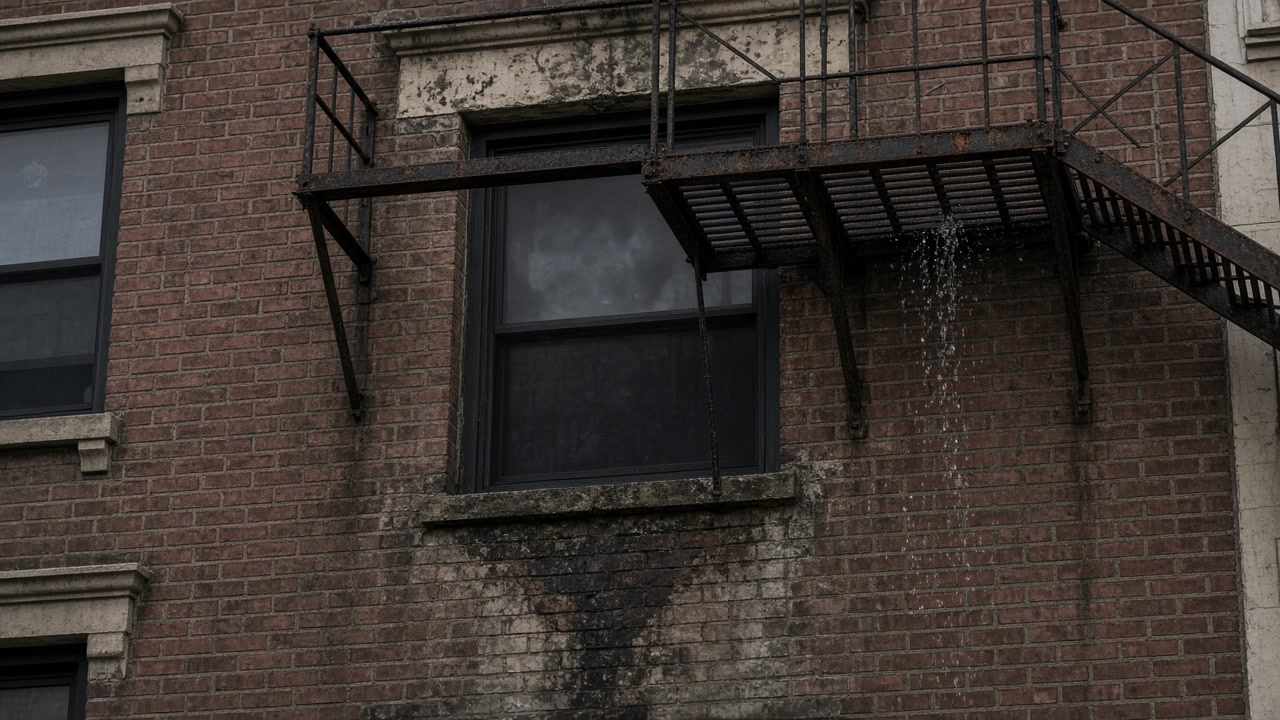
FEMA's National Flood Hazard Layer returns Zone VE with a base flood elevation of 17 feet on the Eastchester Bay shoreline at Pelham Bay, the highest base flood elevation of the Bronx points checked for this site.
Source: Federal Emergency Management Agency, National Flood Hazard Layer, accessed 2026-09-16
33 National Flood Insurance Program claims have ever been filed in ZIP code 10461 and 47 in 10472, against 1,184 in 10465.
Source: Federal Emergency Management Agency, OpenFEMA NFIP redacted claims, accessed 2026-09-16
In ZIP code 10461, 44.1 percent of housing units are in one or two unit buildings, 34.3 percent are in buildings of ten or more apartments, 37.9 percent were built in 1939 or earlier and 70.3 percent of occupied units are rented.
Source: US Census Bureau, American Community Survey 2020-2024 5-year, accessed 2026-09-16
Pelham Bay Park is New York City's largest park property at 2,771 acres, more than three times the size of Central Park, with a 13 mile saltwater shoreline that hugs Long Island Sound, and it spans ZIP codes 10461, 10464, 10465, 10469 and 10475 in the northeast Bronx.
Source: New York City Department of Parks and Recreation, accessed 2026-09-16
In the Pelham and Throgs Neck neighborhood the asthma emergency department visit rate for children aged 5 to 17 was 199.5 per 10,000 in 2023 against 143.7 citywide, 15.4 percent of homes reported leaks in 2017 against 13.4 percent citywide, a lower leak rate than Fordham and Bronx Park at 23.0 percent or Hunts Point and Mott Haven at 24.6 percent.
Source: New York City Department of Health and Mental Hygiene, Environment and Health Data Portal, accessed 2026-09-16
New York City publishes stormwater flood maps modeling a moderate rainfall scenario of 2.13 inches per hour and an extreme scenario of 3.66 inches per hour, with current, 2050 and 2080 sea level rise, showing where rainfall alone floods streets and property away from any mapped coastal flood zone.
Source: New York City Open Data, Mayor's Office of Climate and Environmental Justice and Department of Environmental Protection, accessed 2026-09-16
Salt water or sewer water in Pelham Bay?
Send the street and we will tell you which one you are dealing with.
Pelham Bay's shoreline and its inland blocks are two different jobs
The shoreline blocks and the inland blocks are two different jobs here and they should not be quoted the same way. On the Eastchester Bay edge the mapped hazard is wave action, so below grade space is treated as expendable and the conversation is flood vents and materials that survive being wet. A few streets in, the claim record says the water is not coming off the Sound at all: 33 claims in 10461 against 1,184 in Throgs Neck's 10465, which makes a heavy rain event here a sewer and stormwater problem, and the city's own stormwater flood map is the free thing to check before deciding it was a one off. Thirteen miles of saltwater shoreline on Pelham Bay Park is why crawl spaces and slab edges in this corner stay damp long after everyone else has dried out. Ask the unit count early: 10461 is the most evenly split housing stock in the coverage area, 44.1 percent in one and two unit houses and 34.3 percent in buildings of ten or more, and that single number decides whether the city's mold duties reach you.
What we arrange in Pelham Bay
Mold Inspection and Assessment
Find out what is growing, how far it reaches and what water is feeding it, in writing, before anyone quotes a dollar to remove it.
Mold Assessment in Pelham Bay →Mold Remediation and Removal
Get the mold and the material it is living in out of the building, to a plan somebody independent wrote, with the work checked afterwards by that same independent party.
Mold Remediation in Pelham Bay →Water Damage Drying and Dry Out
Get the building dry inside the window where wet material is still just wet material, before a water problem turns into a licensed mold project.
Water Damage Drying in Pelham Bay →Mold Violation Response for Building Owners
Work out exactly what a dated mold violation, or a tenant complaint you have not answered yet, requires you to do, in what order, and who is allowed to do it.
Violation Response in Pelham Bay →Tell us how far in the water came
The answer changes the drying plan and the materials that go back.